The presentation at tonight's meeting of The Old Edinburgh Club (OEC) covered how to access Census statistics online from the period between 1851 and 2011. The slides are available on the OEC website, and give links to the resources used.
This blog includes a few examples using Edinburgh or areas of Edinburgh to illustrate what can be retrieved.
(Slide 10) Analytical report links
- Gaelic
- Inhabited Islands
- Household composition for population groups
(Slide 11) Understanding Scottish Places
Slide 11 (Datashine)
Slides 25 and 26 (Census Data Explorer - Area profiles)
Select the postcode around Augustine United Church.

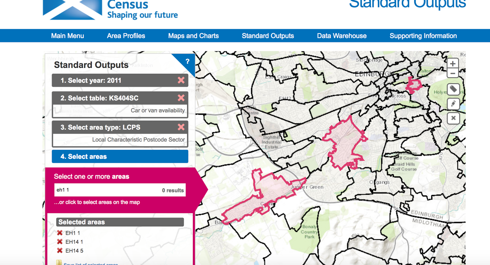
Slides 29 and 39 (Census Data Explorer - Standard Outputs)
Standard Outputs allow you to select a number of areas, and download the table to create a chart.
Select the postcode sectors covering areas in central Edinburgh, Slateford and Juniper Green.


To be continued
Population pyramid sources:
2001 and 2011 - Census Data explorer
1991 - Census Customer Services
1921, 1931 and 1951 - City of Edinburgh Council report
1851 to 1901 - Integrated Census Microdata project
This blog includes a few examples using Edinburgh or areas of Edinburgh to illustrate what can be retrieved.
(Slide 10) Analytical report links
- Gaelic
- Inhabited Islands
- Household composition for population groups
(Slide 11) Understanding Scottish Places
 |
| Select the town |
 |
| An example of the statistics for Edinburgh |
 |
| Census also tells you about travel patterns |
 |
| Highest qualification level 4 and above (degree) |
Slides 25 and 26 (Census Data Explorer - Area profiles)
Select the postcode around Augustine United Church.

 | |||||
| A city centre area , so not surprisingly the majority of households have no car |
Standard Outputs allow you to select a number of areas, and download the table to create a chart.
Select the postcode sectors covering areas in central Edinburgh, Slateford and Juniper Green.


To be continued
Population pyramid sources:
2001 and 2011 - Census Data explorer
1991 - Census Customer Services
1921, 1931 and 1951 - City of Edinburgh Council report
1851 to 1901 - Integrated Census Microdata project